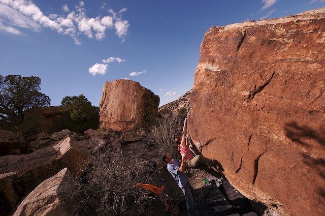
 In an attempt to find some form of climbing that is not far from the paved road—as the weather was taking a turn for the worst and there is nothing more exciting than driving the “clay-dirt” roads just outside of Disappointment Valley—Jim, Karen, Daiva and I went looking for boulders. Out of the vehicles for the first time in hours, Jim and I went for a bit of a jaunt. At first, the quality of what we were finding was not impressive. Later, back at the car, Jim said he had found a few boulders over a ridge that where worth a better look. So, what do we all do, we gear up and head-out. With clouds looming over head and rain eminent, we cached out pads and packs under an overhang at the first boulder we encountered and took off again in search of “it”—convinced it would rain before we would get a chance to climb. Boulder after boulder, we became convinced that the area had potential—OK it’s not the “mother-load” we were all hoping for, but it’ll do. Then we turned an observational corner and there “it” was (see photo ).
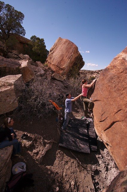
After an extensive examination of the boulders and convinced we would come back in the morning, we were “charged”—our motivation was very high. Back at our cache—it was not yet raining—we broke out the pads and got to work clearing landings, cleaning holds and working problems. Four hours, three boulders, two beers and a fist full of problems climbed, the sound of thunder and a wall of rain heading our way, we charged back to the car. Just in time.

 Normally, soft rock such as this cannot be climbed on after a serious soaking. Bummer for us! What to do? Head
 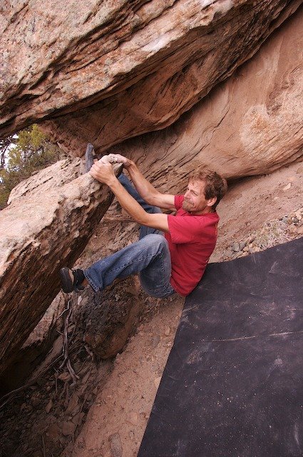 home, camp…. But the
  bouldering looked so damn good. The idea of setting up the tents in a down poor was not worth entertaining. We pulled our cars closer. After a minute of talking out loud, we decided to stick it out—in a cheep (very cheep) motel.
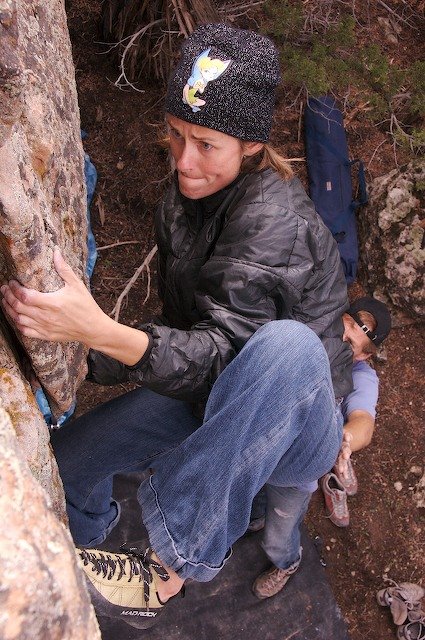
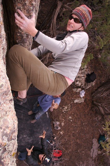
We would be back in the morning! And what a day we had. We wasted ourselves…by 5:00 pm we could climb no more. Here is some of what we found (photos).
And there is more! More what? More ridges, more boulders, more climbing—lots more!

